
Genoa Township Neighbor Source Map
Genoa Township neighbors are a parcel-context question, not an official resident list. The county map can show the parcels touching a target tract. The Auditor record can identify property and tax context. Recorded plats and deeds can explain legal boundaries. A civic program can describe an area. Each source has a different limit, so compare them without claiming that a parcel name establishes present occupancy.
| Source | Block context it provides | Access route |
|---|---|---|
| Auditor GIS | Adjacent parcel shapes, subdivision and survey context | Free web map |
| Auditor property search | Parcel number, legal description, assessment and transfer context | Free Owner, Address, or Parcel Number search |
| Recorder tract and general indexes | Plats, deeds, liens, and named instrument parties | Free online index; counter for earlier material |
| Board of Elections routes | A narrow public registration verification path | County or state interface, with statutory exclusions |
| Township Block Watch | Named civic-program areas | Township police contact and program page |
A name on a recorded instrument can identify a party to a transfer. It does not prove that person was living at the parcel, and a mapped boundary does not create a neighbor roster.
Genoa Township Parcel Layers
The Delaware County mobile GIS provides address, owner-name, parcel-number, facility-name, and subdivision-name search choices. Its Subdivisions, Surveys, and Utilities layers add context around a target parcel. The fuller Auditor GIS provides the desktop map path. Use the parcel geometry to see which tracts touch, then open the separate property record for the details that map symbols cannot provide.
The system is an informational map, not a survey determination. A fence, driveway, or mailing label can differ from the recorded line. For a formal boundary issue, rely on the recorded plat or survey and seek the appropriate professional advice. For a neighbor question, keep the map to its useful role: it narrows the physical block before any record is read.
- Adjacent parcel
- A tract sharing a boundary or corner with another mapped tract. It is a land relationship, not proof of a household relationship.
- Plat
- A recorded map that lays out a subdivision, lots, streets, easements, or related land detail.
- Survey layer
- A map layer that helps identify surveyed land context. It does not replace the recorded survey document.
Blocks Shaped by Genoa History
Place history matters when a block looks older than its current street label. Genoa Township’s official history connects early land records to Big Walnut Creek, the Genoa Trail rail corridor, and Hoover Reservoir. The reservoir project began in 1953 and was completed in 1955, flooding a valley and changing the physical and tax landscape. A contemporary map therefore cannot settle a historical address question on its own.
Use the Township history with a dated plat, deed legal description, or historical map. The 1866 Genoa Township map and the 1875 atlas can offer period context. They should not be forced onto a current lot without a documented bridge. This is especially important where a creek, rail alignment, rural route, or reservoir-era change appears in the record trail.
Genoa Township Block Watch Areas
Community-area names can be helpful orientation without becoming a membership directory. Genoa Township Police identifies Grand Oak, Highland Lakes, Medallion, Villas at Maple Creek, and Westerville Reserve as Block Watch areas. The program is a civic contact route. It is not evidence that every parcel within an area participates, nor does it publish a list of Genoa Township neighbors.
| Program route | Genoa Township Police Block Watch |
|---|---|
| Documented areas | Grand Oak, Highland Lakes, Medallion, Villas at Maple Creek, and Westerville Reserve |
| Starting contact | Lt. Lyon, 614-568-2078 |
| Use boundary | General civic-program information, not a resident or member roster |
The Township Block Watch page is the official source for those program areas.
The Delaware County public-records request directory identifies office-specific custodian routes when a block question needs an official record.
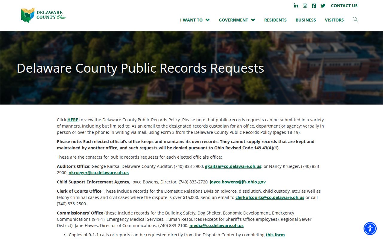
A general block question can be directed to the appropriate program contact. A request for a County record still belongs with the County custodian that keeps it.
Map a Genoa Township Block
For a one-address neighbor question, work outward from land data rather than inward from names. The GIS map, property record, and Recorder index form a useful process flow: target address to parcel, parcel to adjacent polygons, polygon to legal description, then legal description to a recorded plat or deed reference. The process preserves the difference between a boundary question and a question about a person.
- Search the address in the mobile GIS and identify the target parcel.
- Turn on Subdivisions or Surveys where they clarify the lots touching that parcel.
- Open the Auditor property search for the parcel number and legal description.
- Use that description and any instrument reference in the Recorder index to find plats or transfer records.
- For a full named-street record trail, use the Genoa Township By Street directory rather than expanding a block query beyond its purpose.
The sequence is reproducible because every step leaves a parcel number, description, map layer, or instrument number in the notes. It should not be used to infer individual daily presence.
Genoa Township Plats and Deeds
The Delaware County Recorder indexes deeds, mortgages, plats, liens, land contracts, zoning resolutions, and related instruments. Its online real-estate collection begins in 1990. Earlier documents are available through the Recorder’s Office, and the Recorder notes that not every later document is computerized. Search Name, Book/Page, or Instrument Number, with the official surname-first form and spelling variants when needed.
For a neighboring-parcel question, the useful output is the recorded plat or legal-description connection. A grantor is a conveying party and a grantee is a receiving party; neither label means a person is a current neighbor. A document image, date, and instrument number should be retained before a lot relationship is described.
Note: A Recorder result establishes a recorded document trail, not a title opinion or a current-neighbor list.
Genoa Township Voter Record Limits
Ohio voter records are public under R.C. 3503.13 with important exclusions. The Delaware County voter search presents Last Name and First Name fields. The statewide Ohio My Voter Information route uses first name, last name, and county, and can offer a post-result street selector. These are narrow verification paths, not a block directory.
The law excludes full or partial Social Security numbers, driver or state-ID numbers, phone numbers, email addresses, confidential records, protected-worker addresses, and other protected material. Ballot selections are not shown. A public record result should be checked against permissible, independent, dated facts and never used to expose a protected person’s location.
Official Records and Commercial Tools
Official records and commercial neighbor tools answer different questions. An official parcel, map, or Recorder index identifies its custodian and gives a defined record type with a date. A commercial listing may be incomplete, stale, or unclear about how it linked a name to an address. Use the official County source when a legal description, recorded document, or map layer matters.
| Route | Strength | Limit |
|---|---|---|
| County parcel and GIS routes | Defined parcel and map context | Do not establish who is present at an address |
| Recorder index and plats | Dated recorded-document trail | Not a title opinion or household list |
| Civic program page | Official program-area context | Not a participation or membership list |
| Commercial tool category | May offer a starting lead | Accuracy, date, and identity link require independent confirmation |
For an error in an official record, ask its originating office about correction. Do not spread a questionable person-to-address match while trying to resolve it.
Genoa Township Neighbor Privacy
Some location details are protected even when nearby land records are public. Ohio’s Safe at Home Address Confidentiality Program, R.C. 111.41 through 111.47, provides substitute-address protection for eligible participants and qualifying household members. Court records can be redacted or restricted, and motor-vehicle information has separate federal limits. Never try to rebuild or publish a protected address from scattered sources.
Keep a block search focused on the record actually needed. Do not reproduce contact details, sensitive identifiers, document images, or a claimed occupancy result. If an official source contains a protected detail in error, notify the custodian rather than circulating it.
Lawful use. Genoa Township neighbor research can support place history, boundary context, and civic awareness. It must never be used to stalk, harass, intimidate, or harm anyone.
Ask the Correct Genoa Custodian
When the online map stops short, ask the office that created the record. Parcel and tax questions belong with the Auditor; a recorded deed or plat goes to the Recorder; Township land-use material goes to the Township archive; and a voter-record availability question goes to the Board of Elections. The Delaware County request directory explains that elected offices maintain their own records and cannot supply each other’s files.
The County public-records request directory provides office-specific routes. For Township files, Genoa Township public-records guidance says anonymous requests are permitted, email and fax delivery are free, pickup copies cost five cents per page, and a requester can call after seven business days if no response arrives. A narrow document category, address, and date are more likely to reach the right custodian.
The County Records Center preserves and retrieves older material, but it is not the first destination for every request. Start with the originating office, then use the Records Center route when that custodian identifies archived holdings. This avoids sending a parcel, plat, court, election, or Township question to an office that does not control its disclosure.